Explore Upper Hutt Walkways
The boundaries of Upper Hutt extend from Silverstream Bridge in the south-west to the summits of the Remutaka Range in the east and Akatarawa Range in the north.
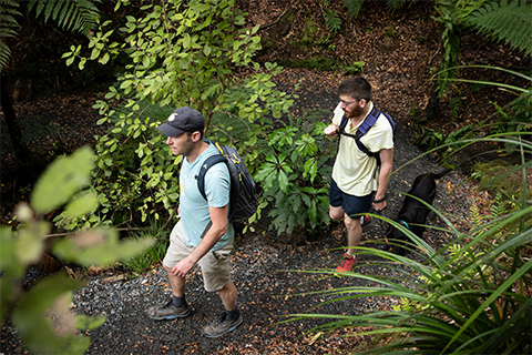
We have put together the best of our walkways in one handy booklet, called Explore Upper Hutt. Discover more than 20 different walkways in our city, and see the best Upper Hutt has to offer.
Explore Brochure(PDF, 10MB)
Please remember before you go
- If you’re going on any walk or tramp which will lead you to isolated areas, take time to plan your trip.
- Not all areas have cellular coverage.
- Go with one or more friends.
- Tell someone where you plan to walk and approximately how long it will take.
- Wear suitable warm clothing and strong footwear.
- Be particularly careful regarding fires, cigarettes, and dogs.
- Many of the tracks are in forestry areas.
- Remove any litter and dog droppings.
- Check for weather updates at metservice.com